Natural Hazards and Your Property
- Written by
- Helen Brosnan
Is Your Home Headed for a Haphazard Relationship?
In a region renowned for its bounty of naturally occurring hazards – which play by their own rules – it’s worth considering how they could potentially affect your property development goals.
Natural hazards 101
Natural hazards include hot ground, geothermal activity, liquefaction, unstable ground, fault lines, erosion, falling debris, subsidence, slippage, inundation and flooding. Climate change is not a hazard itself, but it is likely to influence the frequency and severity of hazards including flooding and drought in the future.
The role of councils
Councils are tasked with planning for natural hazards. This can be through their Emergency Management, Long Term, Asset Management, District and Regional Plans. Councils also respond to events that occur.
In assessing a resource consent application, your council will take into account the requirements of the Building Act and Resource Management Act, both of which can restrict or delay construction, or provide grounds to decline where there is significant risk of natural hazards. An assessment will be made as to whether your proposal will accelerate, worsen, or result in material damage to the land or other land (including neighbouring or downstream properties) or structures.
Map to it
GIS mapping systems and hazard registers can be obtained from councils, providing valuable information on hot ground hazards, geothermal areas, fault lines and flood hazard areas. Natural hazard information should also be available on a Land Information Memorandum (LIM) report which you may wish to obtain prior to purchasing a property. Additional information may also be available on the property file.
Off the record
Given the volatile and ever-changing nature of hazards, it is worth noting that many hazards are not recorded on maps. This may mean specific testing is required to confirm that the proposed building site or land to be subdivided does not involve hazards, or that existing hazards are able to be remedied.
A Hydrological Assessment may be required to establish suitable building platforms and finished floor levels before your local authority will approve subdivision or building consent for development.
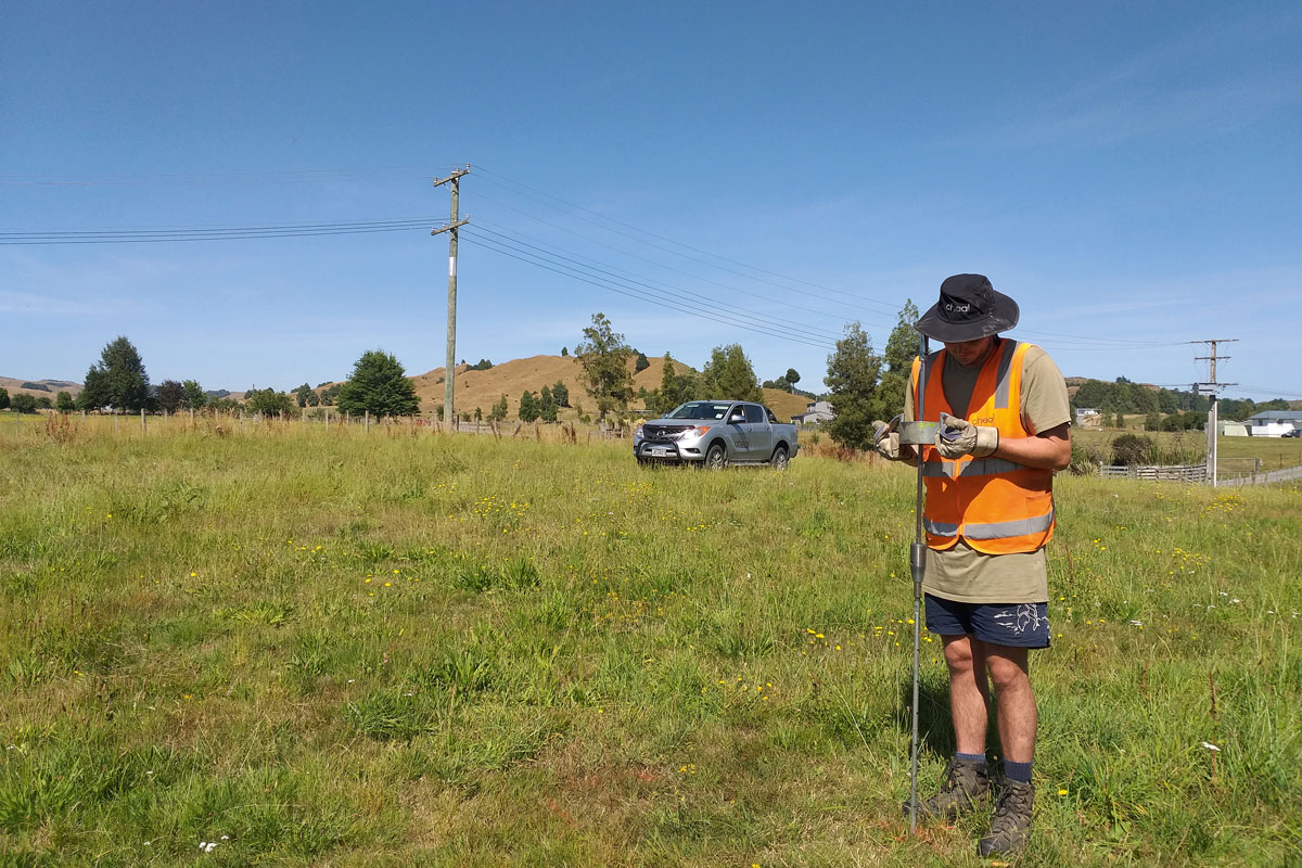
A trusted hand
Cheal is a multidisciplinary consultancy providing Civil, Structural and Geotechnical Engineering, Surveying and Resource Management Planning expertise to assist with your land development needs.

Helen Brosnan is a Senior Planner at Cheal Consultants Ltd in Taupō. She is a member of the New Zealand Planning Institute and Rotorua Property Investors Association. To get in touch with Helen and the team at Cheal call 07 378 6405 or email info@cheal.co.nz.